
Owing to the project, the Kuyavian and Pomeranian Agricultural Advisory Centre in Minikowo purchased or modernized 38 meteorological stations. Precision stations are equipped with sensors for temperature, air humidity, soil.
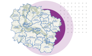
As part of the ‘Infostrada of Kuyavia and Pomerania 2.0’ project, the geoportal has been extended to become the largest spatial knowledge base of the region. Today, it provides specialists.

A point of communication for residents with many services offered to them electronically by the city or municipality. It is being implemented individually in four cities with county rights, i.e..
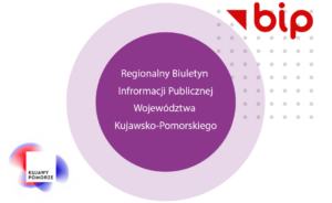
As part of the „Infostrada of Kuyavia and Pomerania 2.0″ project, 350 Public Information Bulletins of the local government units of the Kuyavian and Pomeranian Voivodeship and their subordinate units.

As part of the ‘Digitalization and activities to make scientific collections and information available in the media and on the Internet’, original e-auditions related to our region were created. The.

As part of the ’Infostrada of Kuyavia and Pomerania 2.0′ project, the Electronic Services Platform of the Kuyavian and Pomeranian Voivodeship has been made available. E-services made available within the.
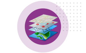
As part of the “Infostrada of Kuyavia and Pomerania 2.0” project, the Spatial Information System has been expanded. This included: – creation of forms for e-office services and implementation of.
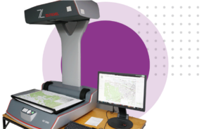
The digitalization of documents from the National Surveying and Cartographic Resource has not only brought the geodesy and cartography of our region into a new dimension of spatial information, but.
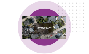
55,000 images with an accuracy of 1px = 7cm were taken to create an ortophotograph map that joined the Kuyavian and Pomeranian Geoportal. The images were taken from the air.


