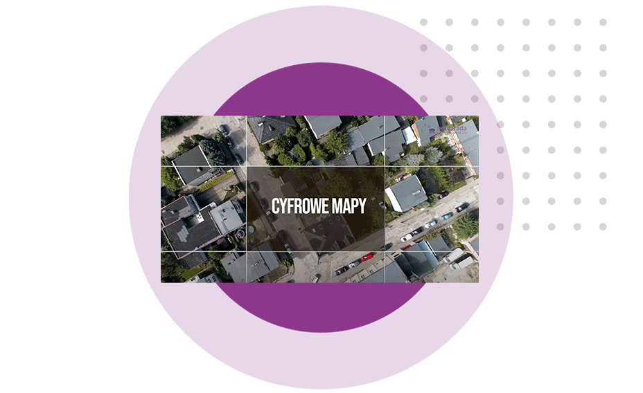
55,000 images with an accuracy of 1px = 7cm were taken to create an ortophotograph map that joined the Kuyavian and Pomeranian Geoportal. The images were taken from the air over an area of 18 000 km². The flights were carried out by 4 aircraft, which spent almost 100 hours in the air over the Kuyavian and Pomeranian region.
Ortophotograph maps are processed aerial photographs subjected to geometric correction. This process results in the absence of terrain distortion and a uniform scale for the entire area depicted in the image. An ortophotograph map presents in the most realistic way the state of land cover and land use, which a traditional map does not reflect.
The ortophotograph map is used for land and building registry, property management and updating local spatial development plans. It provides access to precise spatial information to analyze the actual characteristics of the city and allows quantitative and qualitative measurements and analyses to be carried out on the cartometric representation of the city.
In terms of land-use planning, it enables the updating of Local Spatial Plans, while in the area of urban transport management, it allows the current state of road transport, public transport and the integral elements of their infrastructure to be assessed. It facilitates the planning of future development or maintenance activities. For those concerned with the aesthetics, functionality and directions of change of urban space, it enables an analysis of the current state of urban space and facilitates the documentation and inventory of urban space.