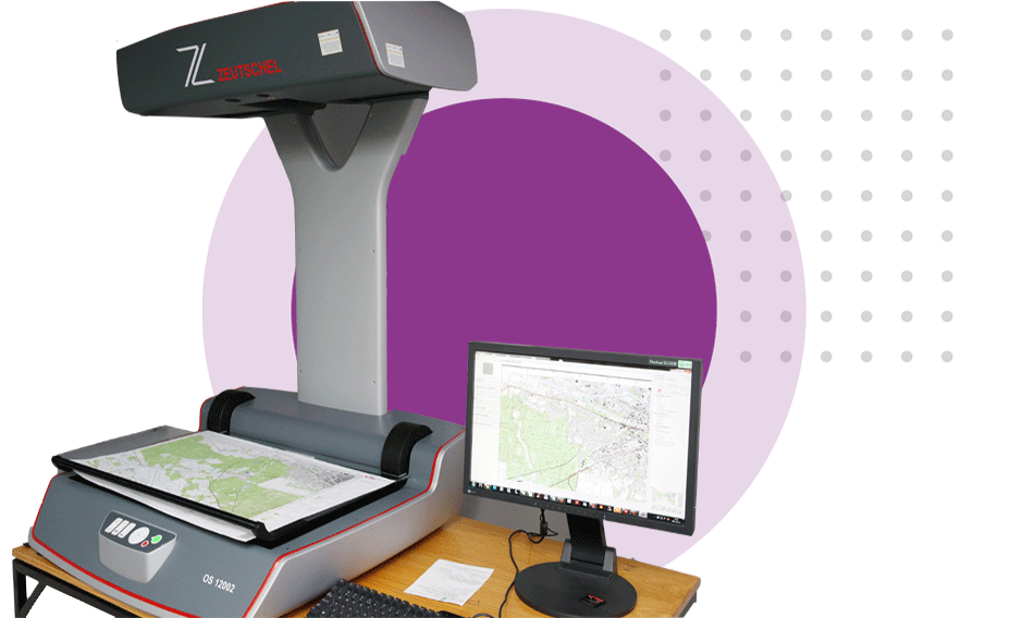
The digitalization of documents from the National Surveying and Cartographic Resource has not only brought the geodesy and cartography of our region into a new dimension of spatial information, but has also saved from oblivion unique maps associated with the region. All the counties of the Kuyavian and Pomeranian Voivodeship have converted their paper maps into digital maps – available online. Approximately 7 million digital mappings have been made in the field of geodesy and administration (maps, geodetic documents, surveys).
As a result of the completed works, all analogue National Geodetic and Cartographic Resource documents were digitized and the Databases of Topographic Objects (BDOT500) and Geodetic Inventory of Land Utility Networks (GESUT) were established within all the counties of the Kuyavian and Pomeranian Voivodeship. In the region, 46 geodetic databases have been established, two in each of the 19 counties and four cities.