Around 1,000,000 pages of documentation and maps have been digitized by the County of Żnin as part of the ‘Infostrada of Kuyavia and Pomerania 2.0’ project. We are transforming paper maps into digital ones – available online. We are entering a new dimension of spatial information and saving from oblivion unique maps related to the region.
Digitalization is taking place in all counties of our voivodeship. Mainly the geodetic documentation (geodetic survey reports) located in the District Geodetic and Cartographic Resource is being scanned, as well as maps, cadastral documents produced during the period of partitions and evidence of changes and land registers.
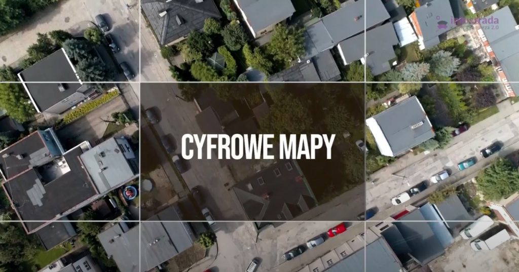
The geodetic documentation scanned as part of the ‘Infostrada of Kuyavia and Pomerania 2.0’ project will be used to create Databases of Topographic Objects (BDOT500) and Geodetic Inventory of Urban Utility Networks (GESUT). Ultimately, 46 such geodetic databases will be created in the region, 2 in each of 19 counties and 4 cities.